Friday 23 November 2012

Sarangkot and Garambesi


 These are two shots of our walk up Sarangkot. The paths here is quite mild compared to the first part which is in and out of the trees. As you can see though it is a fairly steep drop down to Lakeside.  We reach/leave flat land on the left hand end of the right hand group of trees near the shore.
 Looking to the top from about 2/3 way up. The red and white building at the top is where we spent the night with John and Jan some weeks ago. We can see it from our house too. The shot below is looking more directly towards Pokhara than Lakeside, and is another ridge on the mountain. When we walked down with Jan and John we walked somewhere among those rice paddies there.


 We did enjoy watching the gliders. As we walked up and down we frequently noticed their shadows passing over us. There were more in the sky that day, but that was all we could fit into the shot.
 The palagi and the Laughing Brothers.

 Chanman, firstly pointing out the route to his family land and then standing on the border of the land.
Note the rice stack near this house on the route.

Saturday 3 November 2012

Garambesi - the trip to the top.

 This was our first photo for the day. Time to take the headlamps off and have a breather. Probably about 6 a.m. We had been walking for more than an hour.
 This was the view back towards Pokhara, but it was quite hazy and misty even at that hour of the morning.
 A cup of tea! All organised and nearly ready by the time the slow bunch got to the house. This was the lady who was 59 and had 15 children.
 Onwards up the path. In general it was a good path, just one or two really steep bits that did not have steps cut into them. Locals were going up and down in jandals with loads of varying sizes on their backs.
 View from the top. Again looking back towards Pokhara. We could just make out the Fishtail in the distance, but I don't think it shows in the picture. The house in the foreground was where Ves arranged another cup of tea for us. The summit is achieved. We are standing where the photo of John Mc Clean was taken.
 The onward route up to the final peak.
 We met a group of ten or 15 women coming down all similarly laden or with a bundle of firewood tied to their backs. One girl broke her jandal and fell as we met them. They were laughing and enjoying themselves and once they passed us several of them ran with their loads.
 This part of the track could have been NZ with all the ferns growing.
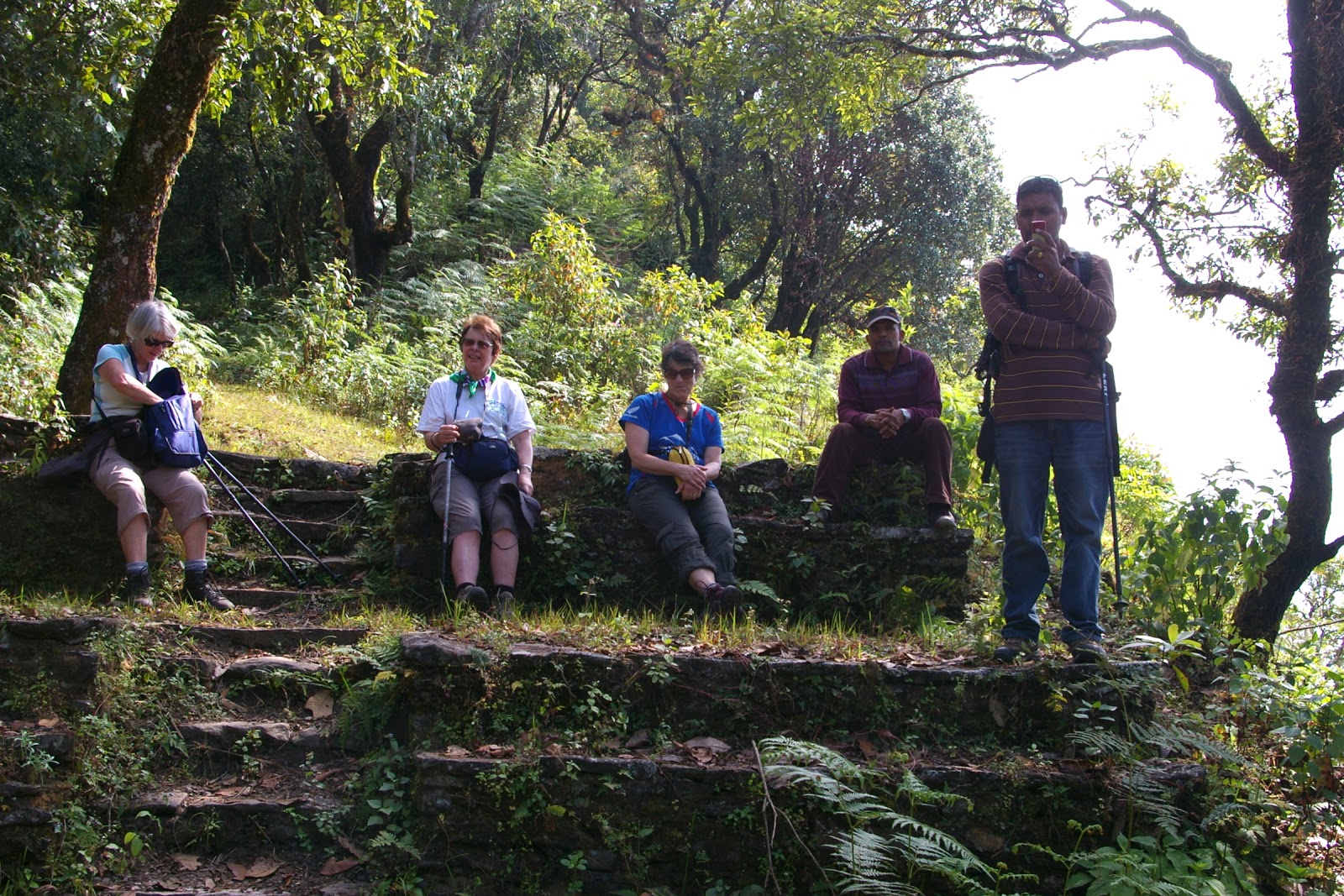
 Pausing on the way up. I waited here while the others went on.
 The final ascent. Barbara counted the steps for us. This site was a kings stronghold in times pat.

 The view from the top was panoramic, but unfortunately not clear with the haze. However it was the highest point for some distance and possible to see all the surrounding country for the full 360.

 These two picture were taken while we were waiting for our lunch to be served. We watched the red bus climb up the hill at quite an alarming angle. It had people on the top too. The 'hotel' was being extended and built from the shack where we had lunch. Chanman took his hand at the saw.
 This is a view near the top of the hill as we made our way back up to the summit before descending to Garambesi.
 Inside the home of the pastor.
 "Show me your magic teeth!" Shrison's boy who came with us on the trip.

Garambesi Village

 This is the view from the ridge where the toilets are. On our village walk we spent more than three hours walking around the area below visiting houses. On the ridge line high above you can see where our walk was the next day. The little hump above the 'v' in village was the ultimate destination, but our first stop was straight above the 'm' in from, so you can see that even once we had attained the ridge there was a fair hike ahead for us.
 We saw a couple of houses, or rather extensions and/or rebuilds being done. They used sloppy mud to hold the stones together. There was definitely community help in these jobs. While we were at one of the last houses a man who had been helping at an earlier house came home with his mud covered hands.
 On our way down through the village. Note the rocks to keep the iron down.
 Although you can't see it in the picture, we were standing at an underground tank which collects water for a number of houses.

 These pictures show the rice harvest. Like hay it is cut and left to dry. Then the women bundle it up into these huge bundles and the men carry it to the stack. We saw them running with their loads across the sharp rice stubble in their jandals. The stacks are built with absolute precision so are extremely neat and tidy. Each stack is finished with a little decorative top knot. By the time we returned about an hour later, this stack had been completed. (Top picture from another location.)


 This was one of the homes we visited. As you can see they have one of the water filters and have felt the health benefits of having it. This family also run a biogas unit from the waste from their two buffalo. It has meant that instead of having a separate smoky kitchen outside (we could see the heavily charred parts of it) they can have a safe kitchen inside the house. You will also notice the corn cobs hung along the verandah and the corn husks carefully made into a stack, both presumably as vermin proof as possible.
 All the villagers seem to complete as much work as possible outside. This woman grinds millet on the stone for an hour and a half each day to get sufficient for her family. You may have noticed the grinding stone in a similar position at the previous house.
 The river which marked the  most distant point of our walk. These young lads are fishing and having a great time. We would have thought that the water would be pretty cold.

The home of one of the buffalo. We think that the roof of his shelter is made of the corn husks and also think that the mats we were given to sit on at each house were made from the same material.

On the way to Garambesi

 Bruce and Evelyn en route to Garambesi. As you can see not much room between the seats.
 Starting the walk. We got off the bus at Baisjagar  and then set off through our first rice paddies down towards the river.

 The swing bridge. As you can see it is well constructed. Two men from the village carrying our packs (2 each) in front, with Chanman and Shrison at the back.
 Now you can see the load they carried for us!
 More rice paddies. This field seemed to be getting fairly close to harvest.  You can get some idea of how tall it was. Below is a later shot from nearer the village, but is shows you the kind of path we had to tread. There is a junction of two paths in this picture, which make it appear slightly wider.

 Resting on the way up.

 These two pictures are very close to our destination. I think these houses would be included in the loose term of Garambesi. Our destination was a little further on than those houses in the distance.


The welcoming party as some of you will realise, outside the church.