Saturday, 3 November 2012

Garambesi Village

 This is the view from the ridge where the toilets are. On our village walk we spent more than three hours walking around the area below visiting houses. On the ridge line high above you can see where our walk was the next day. The little hump above the 'v' in village was the ultimate destination, but our first stop was straight above the 'm' in from, so you can see that even once we had attained the ridge there was a fair hike ahead for us.
 We saw a couple of houses, or rather extensions and/or rebuilds being done. They used sloppy mud to hold the stones together. There was definitely community help in these jobs. While we were at one of the last houses a man who had been helping at an earlier house came home with his mud covered hands.
 On our way down through the village. Note the rocks to keep the iron down.
 Although you can't see it in the picture, we were standing at an underground tank which collects water for a number of houses.

 These pictures show the rice harvest. Like hay it is cut and left to dry. Then the women bundle it up into these huge bundles and the men carry it to the stack. We saw them running with their loads across the sharp rice stubble in their jandals. The stacks are built with absolute precision so are extremely neat and tidy. Each stack is finished with a little decorative top knot. By the time we returned about an hour later, this stack had been completed. (Top picture from another location.)


 This was one of the homes we visited. As you can see they have one of the water filters and have felt the health benefits of having it. This family also run a biogas unit from the waste from their two buffalo. It has meant that instead of having a separate smoky kitchen outside (we could see the heavily charred parts of it) they can have a safe kitchen inside the house. You will also notice the corn cobs hung along the verandah and the corn husks carefully made into a stack, both presumably as vermin proof as possible.
 All the villagers seem to complete as much work as possible outside. This woman grinds millet on the stone for an hour and a half each day to get sufficient for her family. You may have noticed the grinding stone in a similar position at the previous house.
 The river which marked the  most distant point of our walk. These young lads are fishing and having a great time. We would have thought that the water would be pretty cold.

The home of one of the buffalo. We think that the roof of his shelter is made of the corn husks and also think that the mats we were given to sit on at each house were made from the same material.

On the way to Garambesi

 Bruce and Evelyn en route to Garambesi. As you can see not much room between the seats.
 Starting the walk. We got off the bus at Baisjagar  and then set off through our first rice paddies down towards the river.

 The swing bridge. As you can see it is well constructed. Two men from the village carrying our packs (2 each) in front, with Chanman and Shrison at the back.
 Now you can see the load they carried for us!
 More rice paddies. This field seemed to be getting fairly close to harvest.  You can get some idea of how tall it was. Below is a later shot from nearer the village, but is shows you the kind of path we had to tread. There is a junction of two paths in this picture, which make it appear slightly wider.

 Resting on the way up.

 These two pictures are very close to our destination. I think these houses would be included in the loose term of Garambesi. Our destination was a little further on than those houses in the distance.


The welcoming party as some of you will realise, outside the church.

Thursday, 25 October 2012

Poon Hill Trek (2)


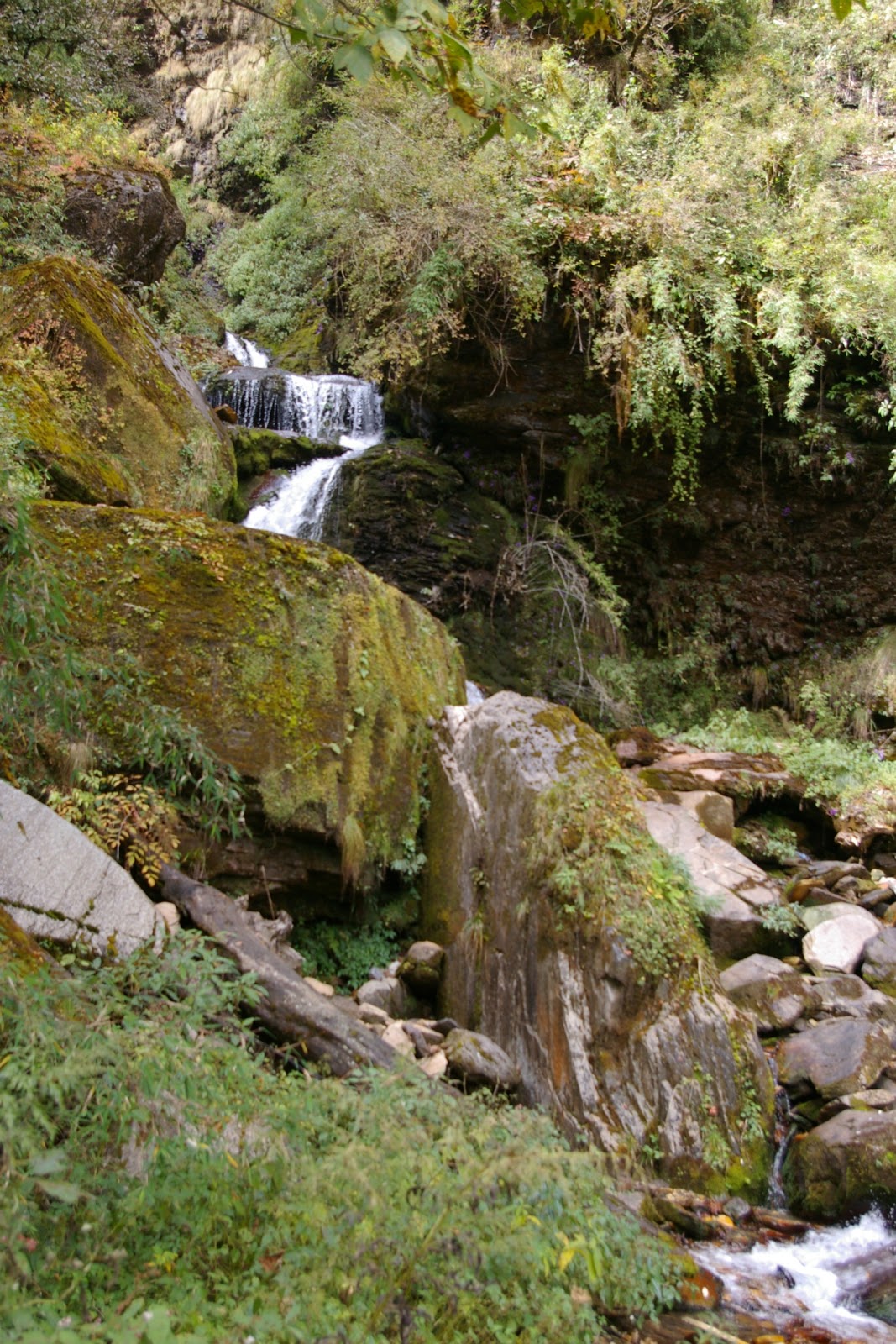
 These pictures are of the deep gorge we walked through descending from Ghorepani to Tadapani. The yellow colours are autumn leaves.
 We reached Ghandruk about 5 in the evening and this is Annapurna South and Hiun Chuli just before we entered the village.
 This is Annapurna South from the hostel in the very early morning. The little hump stuck on the right hand slope of the mountain is Annapurna 1.
 This is the old Ghandruk Village.
 The paved trail leading from Ghandruk to Syauli Bazaar. Flat here, but ever so steep later on.
  Rice fields en route to Syauli Bazaar. On the opposite side of the valley is Tolka.
 The river below marks our destination for the night. A very steep descent!!
 View from our outdoor dining room at Syauli Bazaar.
My style of walking. En route from Syauli Bazaar to trek end at Birenthanti. 100m drop is about 5 kms,

Poon Hill Trek (1)

 As promised- a picture of all the gore. Note the effect right down to the knee. Katelyn was in her early attempts to staunch the flow. The second shot was the following day and in slightly happier circumstances.
 This is earlier shots of Bhurungdi Khola en route from Birethanti to Ulleri.
 More from the same route. As you can see at this stage it is vehicle accessible.

 This was the view from our bedroom window at Ulleri the next morning. This is Annapurna South and Huin Chuli. If we do the Annapurna Base Camp (ABC) trek at Christmas as planned we will get up to 4130m almost directly behind Huin Chuli.


 These are shots from the second day, Ulleri to Ghorepani. The horses are walking up some of the 3000 stone steps that we climbed and later we saw the donkeys coming down from Ghorepani on a less steep section of the track.
 This part of the walk was largely in the shade of the rhododendron trees and so was relatively cool, compared to the heat of the exposed track the day before.

 Ghorepani- or rather Lower Ghorepani. After a visit to the medical centre(out of picture to the left) we had a short sharp climb to our hostel a little way further up.


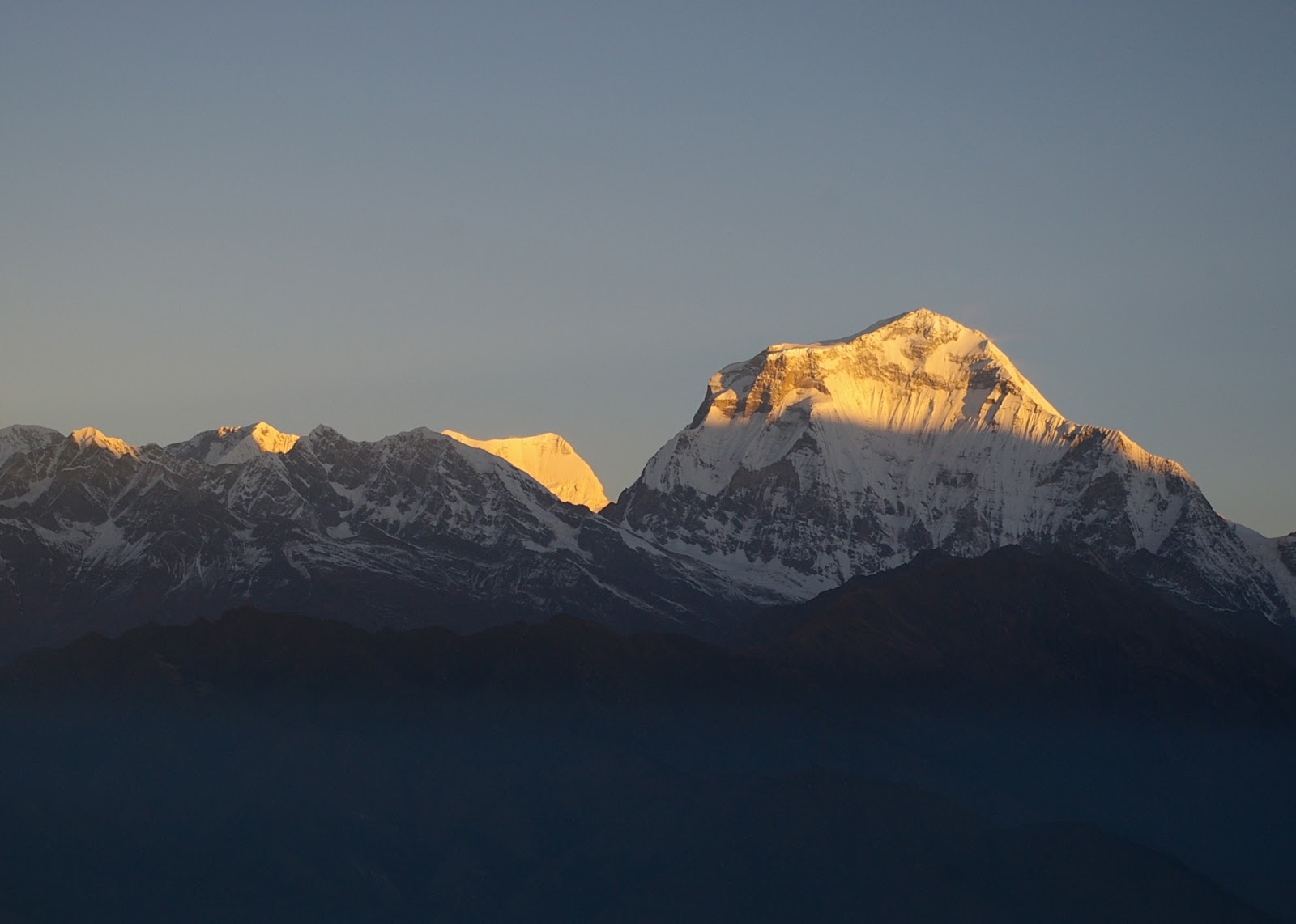
 These are all views from Poon Hill the following morning. We left the hostel in the dark at 5 and climbed for almost an hour to get to Poon Hill where we joined hundreds of others. It was a beautiful morning though and our efforts were well rewarded.
The little white thing at the top of the hill is the tower on top of Poon Hill where many people stood to see the sunrise. We climbed more than four hundred metres back down to the hostel for breakfast and then nearly as high on our onward route before we took this photo.